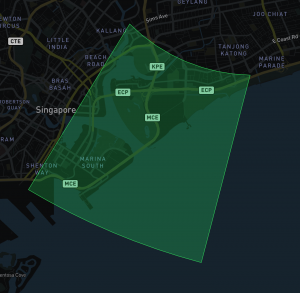
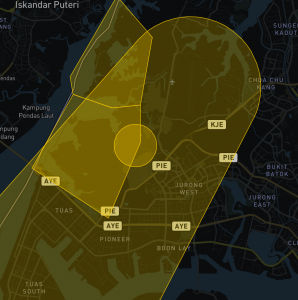
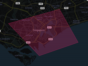
What do the different colours on the map mean?
10KM Aerodrome
An airspace of defined dimensions, the 10km flight funnels of Paya Lebar airbase and Tengah airbase within which the operations of unmanned aircraft (UA) is allowed up to 200ft (60.96m).
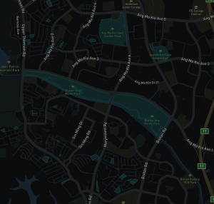
NParks Parks
Land area of defined dimensions, the polygons in this layer represents the indicative Managed Areas of Parks which are currently under the purview of NParks where the operations of unmanned aircraft (UA) is allowed up to 200ft (60.96m).
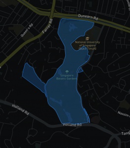
Nature Reserves and Parks with No Flying Signboards
Land area of defined dimensions, the polygons in this layer represents the indicative Managed Areas of Parks and Nature Reserves which are currently under the purview of NParks with ‘No Flying’ signboards where the operations of unmanned aircraft (UA) is not allowed.
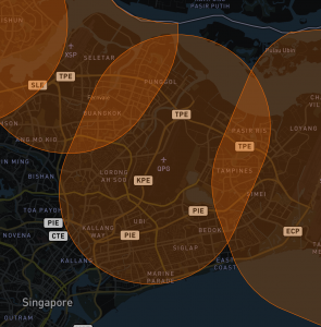
5KM Aerodrome
An airspace of defined dimensions, 5KM away from military airbases and civilian airports, within which the operations of unmanned aircraft (UA) is prohibited. This term is used only when the unmanned aircraft (UA) within the designated airspace is not permitted at any time under any circumstances. Unless permit is granted by relevant authorities.
Protected & Prohibited Areas
An airspace of defined dimensions, above the land areas or territorial waters of a State, within which the flight of aircraft is prohibited. This term is used only when the flight of civil aircraft within the designated airspace is not permitted at any time under any circumstances. Unless permit is granted by relevant authorities.
Danger & Warning Areas
An airspace of defined dimensions above the land areas or territorial waters of a State within which the flight of aircraft is restricted in accordance with certain specified conditions or activities dangerous to the flight of aircraft may exist at specified times.
This term is used whenever the flight of civil aircraft within the designated airspace is not absolutely prohibited but may be made only if specified conditions are complied with or only when the potential danger to aircraft has not led to the designation of the airspace as restricted or prohibited.
The effect of the creation of the danger area is to caution operators or pilots of aircraft that it is necessary for them to assess the dangers in relation to their responsibility for the safety of their aircraft and, prohibition of flight unless special permission had been obtained, leads to the designation of restricted area.
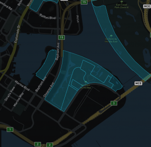
Private Properties
Land area of defined dimensions, the polygons in this layer represents private properties where the operations of unmanned aircraft (UA) is not allowed unless permit is granted by relevant authorities.
Guidelines and Contact information:-
- Sentosa Development Corporation
- Marina Barrage
- Gardens by the Bay
- Suntec City
- Marina Bay Sands
- Keppel Island
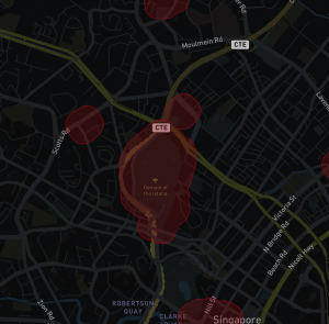
Temporary Restricted Areas
An airspace with defined dimensions, will extend from ground level to 4,000 feet above mean sea level. The establishment of the temporary Restricted Area is to ensure the safety of aircraft and the public. During the stated dates and times, aerial activities such as flying of drones and other unmanned aircraft, release of flight lanterns, kite-flying and hoisting of captive balloons are prohibited within the temporary Restricted Area unless authorised by CAAS.
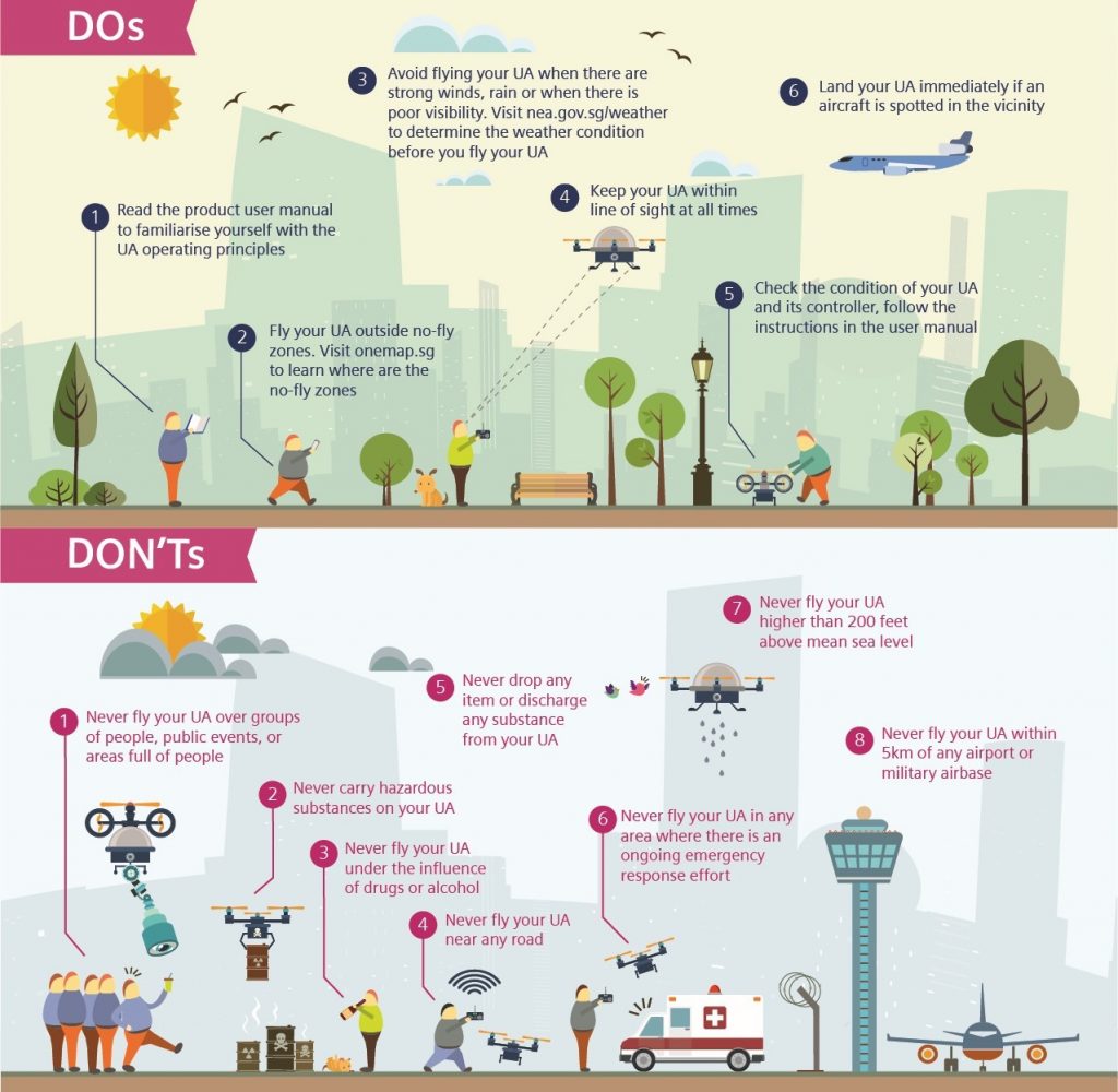
What are the Dos and Don'ts of operating your drone in Singapore?
For more information on the regulation: Read more
Is flying at night allowed in Singapore?
According to CAAS, night flying is allowed as long as you follow the UA Safety guidelines
Am I allowed to operate my drone recreationally after the circuit-breaker?
During the ‘Safe Re-opening’ (Phase One) of the gradual lifting of the circuit breaker measures, non-essential activities and social gathering will continue to be prohibited. Therefore, outdoor recreational unmanned aircraft (UA) flying cannot be resumed.
In Phase Two, outdoor recreational unmanned aircraft (UA) flying is allowed. However, UA operators must adhere to safe distancing measures and UA regulations.
Where do you retrieve your data from?
Flywhere.sg contains information from “Areas within 10km of aerodromes”, “Areas within 5km of aerodromes”, “Areas within Danger Areas”, “Areas within Prohibited Areas”, “Areas within Restricted Areas”, “Protected Area under Section 7 Air Navigation Act” from OneMap.sg accessed on 01 August 2019 which is made available under the terms of the Singapore Open Data Licence version 1.0
Flywhere.sg contains information from “NParks Parks”, “SDCP Nature Reserve”, and “JTC Estate Name Boundary” from Data.gov.sg accessed on 01 August 2019 which is made available under the terms of the Singapore Open Data Licence version 1.0
DroneXchange Pte Ltd do not make any warranty as to the accuracy, validity, adequacy, completeness or reliability of the information on this page and shall under no circumstances be held liable for any damages, expenses or costs whatsoever arising from or relating to in any way your use of such information. The information should not be regarded as advice or relied upon by you or any other person and we recommend that you seek professional advice before making any decisions.